
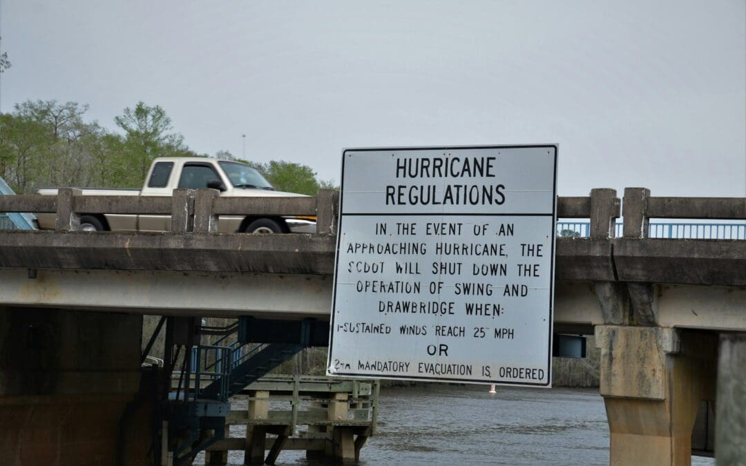
Quick answer: Your hurricane evacuation zone is set by your state or county emergency management office, and most coastal states have an official online lookup where you type in your address. Zones are usually lettered (A, B, C) or numbered (1, 2, 3), and the lowest letter or number is evacuated first. Below are the official zone tools for every Atlantic and Gulf coast state.
Every hurricane season, the same question lights up group chats up and down the coast: “Wait, what zone are we?”
It’s a fair question. Evacuation orders are almost always issued by zone, not by city or ZIP code, so the news saying “Zone A must evacuate” is only useful if you already know whether that’s you. The best time to look it up is a quiet day in June, not the night before landfall when every lookup tool in the state is getting hammered.
What is a hurricane evacuation zone?
A hurricane evacuation zone is an area that emergency managers expect may need to evacuate because of storm surge, the wall of ocean water a hurricane pushes onshore. Storm surge, not wind, is historically the deadliest part of a hurricane, so zones are drawn mostly around how low and how close to the water a neighborhood is.
A few things trip people up:
- Evacuation zones are not FEMA flood zones. Your flood insurance map and your evacuation zone are different maps made for different purposes. You can be in one and not the other.
- Zones are not hurricane categories. Zone A doesn’t mean “Category 1 only.” Officials decide which zones to evacuate based on each storm’s expected surge.
- Mobile and manufactured homes are often told to evacuate for almost any hurricane, no matter which zone they’re in.
- Zones change. States and counties update their maps as new surge models come out, so check again even if you looked a few years ago.
How to read your zone
Most places use letters or numbers, and the lowest one goes first. Zone A (or Zone 1) is usually the most surge-prone area and the first to be ordered out. Higher zones are added as a storm gets stronger or its track gets more threatening. If your address isn’t in any zone, you may still be told to evacuate if you live in a mobile home or a flood-prone spot, and you might be a good place for family and friends from lower zones to ride out the storm.
Find your hurricane evacuation zone by state
These are the official lookup tools from state and county emergency management agencies. When a link sends you to a county, use your county’s tool, since counties are usually the ones who issue the actual orders.
Florida
Florida’s Know Your Zone map lets you search any address in the state. Florida uses zones A through F, with Zone A the most vulnerable and first to evacuate. Mobile homes and other unsafe structures are typically told to leave regardless of zone.
Georgia
Georgia’s coastal counties, including Chatham (Savannah), Glynn (Brunswick and St. Simons), Camden, Liberty, McIntosh and Bryan, are covered by the Know Your Hurricane Evacuation Zone lookup from the Georgia Emergency Management and Homeland Security Agency. In Chatham County, Zone A is east of the Truman Parkway, Zone B is between the Truman Parkway and I-95, and Zone C is west of I-95.
South Carolina
The South Carolina Emergency Management Division’s Know Your Zone map lets you search by address or use your location. You can also download the free SC Emergency Manager app, which finds your zone from your phone.
North Carolina
North Carolina’s Know Your Zone program covers 21 coastal counties, from Currituck and Dare on the Outer Banks to Brunswick and New Hanover in the south. Zones run from A to E, though some counties only use A and B. Zone A is typically evacuated first.
Virginia
Virginia’s Know Your Zone covers 23 coastal localities across Hampton Roads, the Northern Neck, the Middle Peninsula and the Eastern Shore. Zones are labeled A through D.
Maryland
Maryland’s Know Your Zone lookup covers communities along the Atlantic coast and the Chesapeake Bay, where surge can push far up the bay and its rivers. Maryland uses Zones A, B and C.
Delaware
Delaware’s Know Your Zone page has an address lookup and an interactive map. Delaware uses Zones A through D.
New Jersey
New Jersey doesn’t have a single statewide zone map. Coastal counties handle evacuation areas, and some have their own Know Your Zone programs, like Cape May County. The New Jersey Office of Emergency Management publishes the state’s coastal evacuation routes.
New York
New York City residents can use the NYC Hurricane Evacuation Zone Finder or call 311. NYC zones are numbered 1 through 6, with Zone 1 at the highest risk. On Long Island, Suffolk County has a storm surge zone interactive map.
Connecticut
Connecticut’s Division of Emergency Management and Homeland Security has an interactive Know Your Zone evacuation map for shoreline towns, plus printable town maps.
Rhode Island
The Rhode Island Emergency Management Agency posts evacuation maps for each coastal community. Zone A is generally recommended to evacuate before a Category 1 or 2 hurricane, and Zone B before a Category 3 or 4.
Massachusetts
Massachusetts’ Know Your Zone map covers coastal communities and towns along tidal rivers. Zone A floods first, then Zone B. Only Boston and Cambridge have a Zone C.
Maine
Maine Emergency Management publishes its hurricane evacuation zones and routes in an interactive story map.
Alabama
Mobile and Baldwin counties each use Zones 1 through 4, with Zone 1 covering the most surge-prone coastal areas. Dauphin Island has its own Zones A through D. Check Mobile County EMA or Baldwin County EMA for your exact zone.
Mississippi
Mississippi’s three coastal counties, Hancock, Harrison and Jackson, each publish their own evacuation zone maps. Harrison County’s is a downloadable zone map, and the Mississippi Emergency Management Agency has statewide hurricane guidance.
Louisiana
Louisiana evacuates in phases rather than lettered zones. Phase I covers areas south of the Intracoastal Waterway without levee protection, Phase II covers levee-protected areas south of the Mississippi River, and Phase III covers the New Orleans metro area on the east bank. Each phase is called a set number of hours before tropical-storm-force winds are expected. Check with your parish and the Governor’s Office of Homeland Security and Emergency Preparedness (GOHSEP).
Texas
Texas doesn’t have one statewide zone map. In the Houston-Galveston area, evacuations are organized by ZIP code using the Coastal, A, B and C “zip zones” shown on the Houston-Galveston Area Council evacuation map. In the Coastal Bend, Corpus Christi publishes its evacuation routes and maps. Many Texas orders are issued by city or community, so follow your county judge and city announcements too.
What to do once you know your zone
- Write it down. Put your zone in your phone notes and on the fridge. Everyone in the house should know it.
- Sign up for local alerts. Your county emergency management office runs the alerts that will actually tell you when your zone is ordered out.
- Know your plan for each zone level. Decide now where you’d go, whether that’s family inland, a hotel or a shelter.
- Check the zones of the people you’d stay with. Evacuating to your sister’s house doesn’t help much if she’s in Zone A too.
- Read up on what happens next. Our guide to what to do when you’ve been ordered to evacuate walks through it step by step.
Your zone affects your wallet, too
If your home is in a low-numbered zone, you’ll likely be asked to leave more often than people a few miles inland. That means more hotel nights, more gas and more meals out. Research suggests a single hurricane evacuation can cost a family roughly $900 to $1,100 or more, and homeowners insurance usually doesn’t cover it unless certain conditions are met.
That’s the gap we’re building Escapay to fill. Escapay is designed to pay a fixed cash benefit when a mandatory evacuation order covers your address, so the money shows up when you need to leave, not weeks later. Join the waitlist to hear when coverage launches in your area.
Zone maps and tools are maintained by state and local agencies and can change. Always follow the instructions of your local officials.
Keep reading
- You’ve Been Ordered to Evacuate. Now What?
- How Much Does It Cost to Evacuate for a Hurricane?
- Does Homeowners Insurance Actually Pay for Evacuations?
Escapay is building evacuation insurance that pays a fixed cash benefit when a mandatory evacuation order covers your address. Join the waitlist.